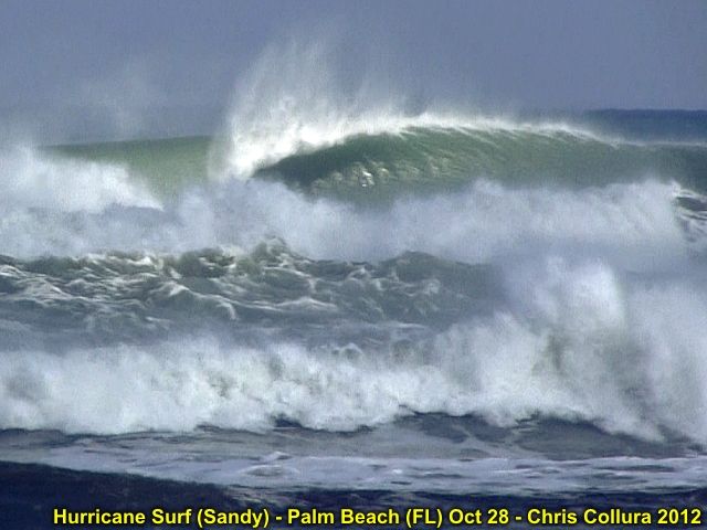
The storm produced tropical storm forced winds in Florida during its closest approach, and battered the region with very high waves. The waves, surge, and winds continued to expand in coverage from October 28 onward, with the storm passing east of Cape Hattaras and making a left turn back to the NW as it became a 90 MPH extratropical storm just off New Jersey on October 29. The storm made landfall later that same day causing extensive flooding and wave damage to New England and the eastern Seaboard from Florida to Canada! The storm continued inland, as a post-tropical storm, and caused snow and blizzard conditions in West Virginia areas. Observations of this dangerous storm system were mainly coastal and fringe effects of the winds as it passed Florida. The chase / observation logs for Sandy are also available at the link below.
http://sky-chaser.com/sandy12.htm