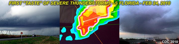
Finally some interesting weather rolls through South and Central Florida on Wednesday, February 24, 2010. Some of the thunderstorms contained brief / shallow mesocyclones and some areas (near West Palm Beach) reported golfball sized hail.

This is a nice change to have a warm and moist air mass (ahead of a strong cold front) with strong and severe thunderstorms ... Hopefully chasing will be good as we head into March 2010 in the south.
No comments:
Post a Comment